Bright green grass across the fields, lawns and roadsides of northern and central Georgia is making those parts of the state look more like Ireland than a typical Georgia in February. Copious rain, coupled with periods of much warmer-than-normal temperatures, is waking up plants early and causing them to green up.
The National Phenological Network says that Georgia is almost three weeks ahead of usual in signs of spring.
Rainfall across northern and central parts of Georgia has been much above normal, with some areas receiving more than 7 inches of rainfall so far in February. Parts of the northeast mountains have received almost a foot of rain this month, including some melted water from snow.
With the average precipitation for the month ranging from about 4.5 inches in most areas to 6.5 inches in the mountains, February has already surpassed the monthly average rain total at many locations.
Many University of Georgia weather stations are experiencing their top five wettest Februaries on record, including Athens (first), Atlanta (third), Macon (fourth), and Columbus (fifth). These stations are also recording winter precipitation amounts in the top five highest. Athens is rated as highest ever, with Augusta, Columbus and Macon the third wettest, and Atlanta the fifth wettest winter to date. This is likely to make the winter season — November through February — one of the wettest on record for Georgia.
By comparison, parts of southern Georgia are fairly dry, with rainfall amounts of less than four inches along the Coastal Plains. The southeast coast has been the driest part of the state, with Savannah reporting 2.9 inches and Brunswick receiving only 1.64 inches for February so far.
Abnormally dry conditions have persisted in this area through the winter with the storm track stuck farther to the north and currently only a tiny area of the state in designated drought, according to the Drought Monitor.
Due to the heavy rain conditions, many streams are flooding and standing water can be seen in many fields and ditches. Lake Lanier reached its highest level since 1964, and UGA soil sensors at the Gainesville station near the shore are currently underwater, as the lake has covered the ground beneath the station.
Streams are overflowing their banks in many watersheds. A few small dams have been overtopped from all the rain in that region as well.
Moderate rain is expected for the next week, with the heaviest amounts anticipated for southwestern Georgia, where it may alleviate some of the dry conditions there.
In March, the National Oceanic and Atmospheric Administration’s Climate Prediction Center predicts that average temperatures will likely be colder than average, with wet conditions most likely in the southern half of Georgia. Continued wet conditions are predicted to persist through May, while temperatures are most likely to be warmer than usual.
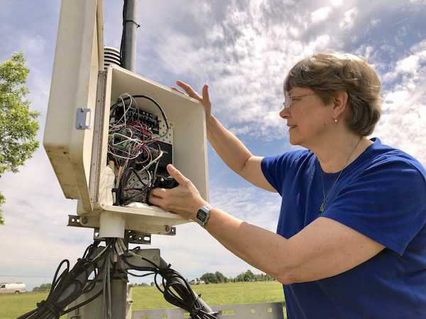
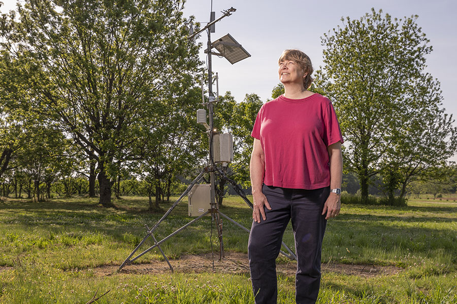
To view weather data from UGA College of Agricultural and Environmental Sciences’ automated weather stations, go to www.GeorgiaWeather.net.


