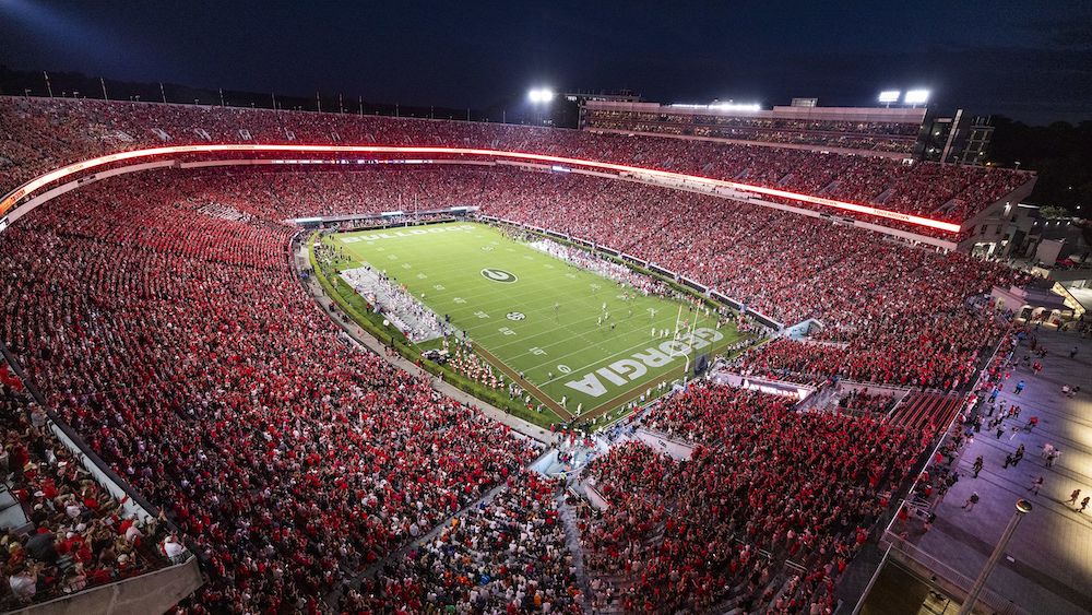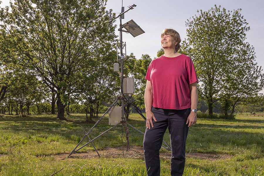

From peach orchards to porch conversations, weather is always part of the story in the South — and University of Georgia climatologist Pam Knox brings clarity, science and common sense to every weather event.
Whether you’re wondering why the seasons feel out of sync, how climate change plays out in your backyard, or what to expect before the next storm, Knox offers answers grounded in decades of research and a deep connection to the land. It’s your forecast with context.
What is the difference between climate and weather?
The best explanation I ever heard was from an 8-year-old: Climate is the clothes in your closet, and weather is what you wear today. It makes a lot of sense, right? Because with the climate, you have to be prepared for the full range of the year, but the weather is what’s happening today.
If you’re a baseball fan, it is like batting averages. The weather is represented by what you do in a particular at bat, and the climate is your overall batting average. Or you could say climate is your personality and the weather is how you’re feeling today, your mood.
Part of the problem is that the way climate change has been presented in the past is more about an increase in the average temperature, which is the easiest thing for climate modelers to do, but it’s not helpful for farmers.
Farmers want to know how often it is going to rain and how much it’s going to rain. They want to know how hot it’s going to get on the hottest day of the year, and how cold it’s going to get on the coldest day of the year.
How do changing climate conditions contribute to the extreme weather patterns that we are seeing, including natural disasters like Hurricane Helene?
A lot of the extremes are driven by either really high temperatures or really high humidity. And they’re related, because the hotter the ocean is, the more water vapor it can give off. Georgia is very nicely located for getting lots of water vapor, because the Gulf of Mexico is to the south and the Atlantic Ocean is to the east, so we get it flowing in from both of those sources. If you have warmer ocean temperatures, then hurricanes can get stronger because they grow depending on surface temperature. If you have more humidity, they can also rain more, because you’re more likely to get really heavy rains when you’ve got more water vapor. Both of these things happened with Hurricane Helene, which got stronger very quickly as it approached land, because the ocean temperatures were so warm, and it was carrying all this water vapor.
We have had hurricanes for thousands of years, so it’s not that climate change is forming hurricanes. It’s a risk multiplier. There is some factor that is getting worse because the climate is getting warmer and more humid, and we’ve seen this in more recent hurricanes. There’s been a lot more rapid intensification of the hurricanes than in the past, and that’s because the ocean temperatures are so warm. There’s more than one reason why the ocean temperatures are getting warmer. One is greenhouse gases.
Another human cause is that the air is clearer than it used to be due to regulations like the Clean Air Act of 1970, which established federal air quality standards, regulating mobile sources of pollution, like vehicles, and controlling emissions from stationary sources, like industries, Knox explained. In 2020, new international shipping regulations went into effect that dramatically decreased the limits for the emissions of sulfur and restricted other air-polluting substances from ships when they are near land. Because there are fewer pollutants in the air, there are also fewer clouds, as clouds form on small particles in the air.
Both of those things contribute to more sunlight getting to the surface, so the ocean temperatures have been at record-high temperatures in both the Atlantic and in the Gulf over the past few years. It’s one of these unintended consequences. If you do things to change the climate, which we are trying to do by making some things better, there are clearly many benefits for health, but it means you have to understand that it’s going to affect things in ways you didn’t necessarily think of. It’s all one big system, all these things are interacting with each other.
People say, “Oh, well, it must be the sun that’s making it warmer.” But astronomers have been keeping track of sunlight over a long time and it’s not the sun. The sun does vary, but the sun has a pretty small variation compared to all this internal variability. It has to do with the things that are changing in our atmosphere and how it all interacts together.
Can you explain El Niño and La Niña and how they may be changing?
La Niña and El Niño are opposites of one another. Together they’re called El Niño Southern Oscillation, an internal circulation of the globe that’s driven by winds in the tropics. That changes over time. In an El Niño, the eastern Pacific Ocean will be warm, and so we get impacts from that. The opposite phase is La Niña, which is when the eastern Pacific Ocean is colder than usual. That is what we’re in right now. This year it was a very weak La Niña, with most of the cold water farther to the west. This partially explains why the weather here has been so weird because, if you’re in between the two, it’s called neutral conditions, so you’re flipping back and forth. It’s not a regular oscillation.
We get an El Niño maybe every three to seven years, and it seldom lasts for more than a year, then usually swings to the other phase, to La Niña. La Niña can last longer, and sometimes you’ll get a La Niña, then go to neutral, then right back to La Niña. In the years before the El Niño that we had in winter 2024, we had three La Niñas in a row, which is unusual, but not completely unexpected. I think we’ll get more El Niños in the future.
If you look at the statistics, southern Georgia, especially, but all of Georgia, statistically, is very highly correlated to what’s going on in the eastern Pacific Ocean. We’re one of the best places in the country for being able to use El Niño observations to forecast what the winters will be like here in Georgia. Winters are the season with the strongest correlation with the ocean temperature, and that relationship weakens going into spring and summer. We do know that if we’re in neutral conditions in the summer, or if there are La Niña conditions, we do get more hurricanes in the Atlantic on average.
For more weather insights, visit Knox’s weather blog, Climate and Agriculture in the Southeast.