Longtime residents of Georgia may remember the devastating floods of Tropical Storm Alberto in July 1994. The rain was so intense that Georgia’s one-day rainfall record was set during that storm: 21.10 inches of rain was recorded in Americus, Georgia, over a 24-hour period ending on July 6, 1994, as the storm stalled over the state. Despite that incredible record and the resulting damage, the National Hurricane Center did not retire that storm’s name. “Alberto” is the first on the list of Atlantic tropical storm names for the 2018 season, which begins on June 1.
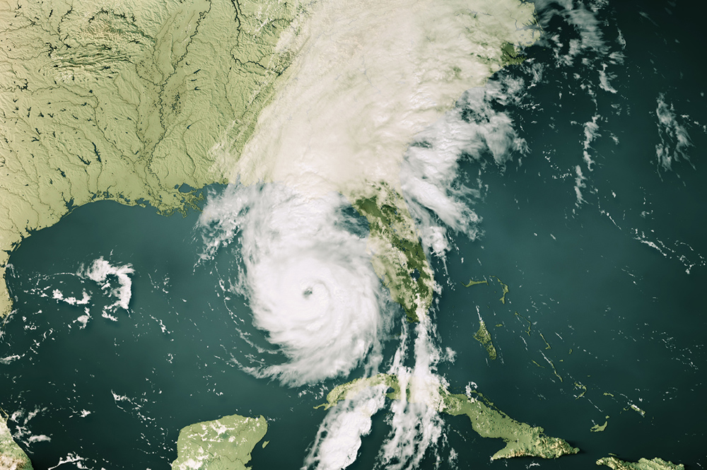
The National Hurricane Center’s latest five-day outlook for the Atlantic tropical region indicates that there is an 80 percent chance of this year’s Tropical Storm Alberto developing in the Gulf of Mexico over the next five days, even before the season officially begins.
While it is not likely to bring extreme winds or a storm surge, it is expected to bring copious rain to an area that has already received up to six times more rain than normal in the last week, covering most of Georgia except the northwest corner.
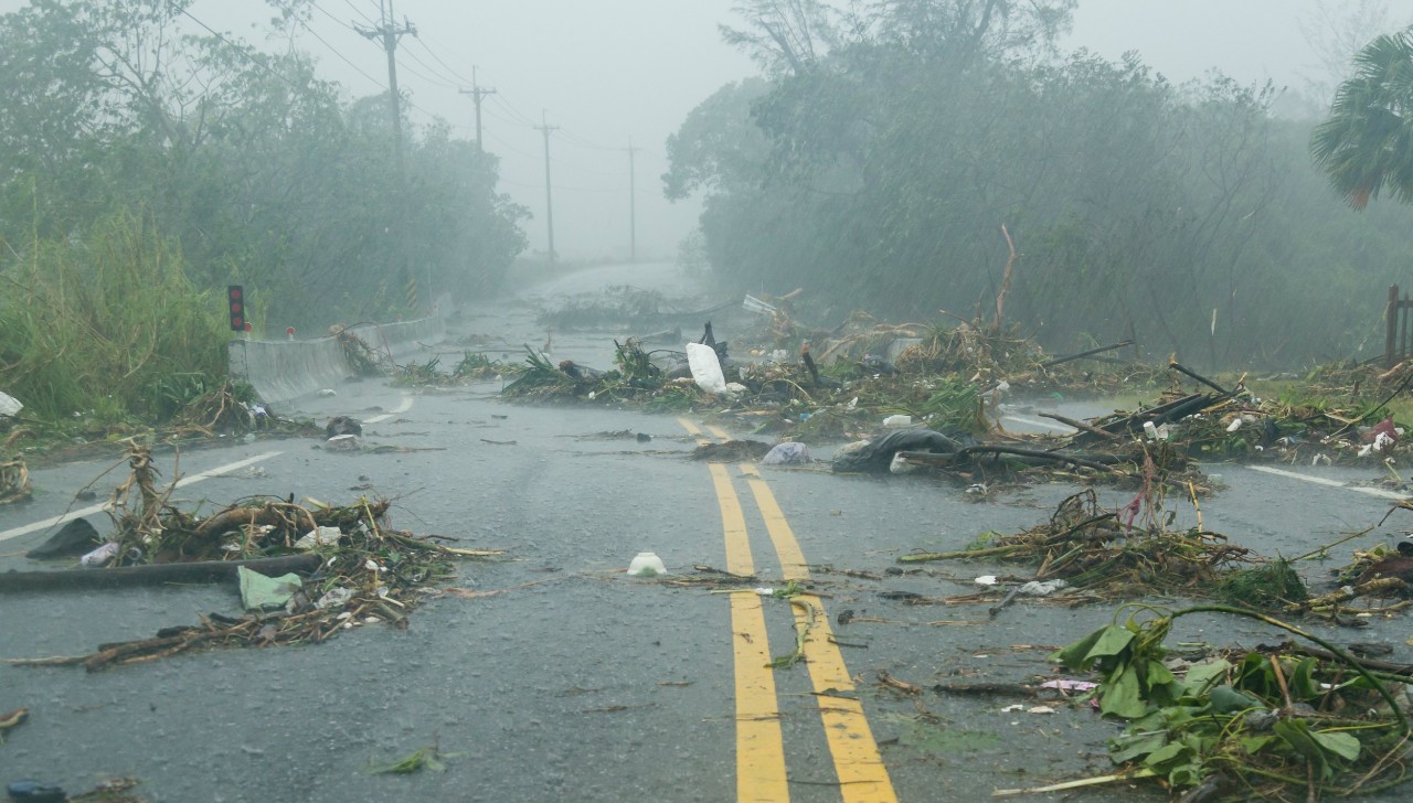
The slowly moving storm is expected to bring another 6 inches of rain across a wide area of Georgia over the next seven days. While this is not likely to be as wet as the 1994 Tropical Storm Alberto, the storm and rainfall will still cause tremendous problems in Georgia, along the coast and inland across most of the state.
Now is the time to think about what you need to do to get ready for the rain, whether or not it becomes a named tropical storm. If you have weekend activities planned along the Gulf Coast for this Memorial Day weekend, be prepared for intermittent heavy rains, gusty winds, high waves and rip currents in the water along the coast from New Orleans to the west coast of Florida. If you are inland, prepare for localized flooding made worse by ground that’s already saturated in many areas. Move equipment and livestock out of low-lying areas.
Expect some trees to fall because of the wet soil conditions, even if the winds are not that strong. This may mean roads are blocked or power disrupted, so check your generators now if you need supplemental electricity for your operations.
If water covers the road, do as the National Weather Service recommends and “Turn Around, Don’t Drown.” You won’t be able to tell if the road has been undercut or washed away, and water has a tremendous potential to move cars and trucks, even when it’s only a few inches deep. The Extension Disaster Education Network (EDEN) has several useful publications on preparation and recovery at eden.lsu.edu/educate/resources.
The rain and cloudy conditions in place over the past two weeks have caused problems for producers: split blueberries; increased fungal diseases; slow growth of crops; and producers’ inability to get into the field to side-dress corn, apply fungicides and other treatments, and plant. Unfortunately, I don’t see a shift in this current pattern, and above-normal rainfall is likely to continue for the next several weeks, although there will be some drier periods that may allow farmers back into their fields.
For more information, follow my retweets on Twitter at @SE_AgClimate or shares on my Southeast Ag Climate Facebook page. Do not count on your smartphone weather apps to give you the most current information. Many of them are only updated once or twice a day. Keep monitoring credible sources for changing conditions. Above-normal sea surface temperatures in the Gulf of Mexico could lead to a rapid drop in pressure and increase in winds as the center of the storm gets close to land, or the storm could move in a different direction under weak steering currents.
If you have comments to share about how the current rainy and cloudy weather is affecting your work and your crops, please feel free to send them to me at pknox@uga.edu. I always like to hear how the weather and climate are affecting Georgia agriculture.


