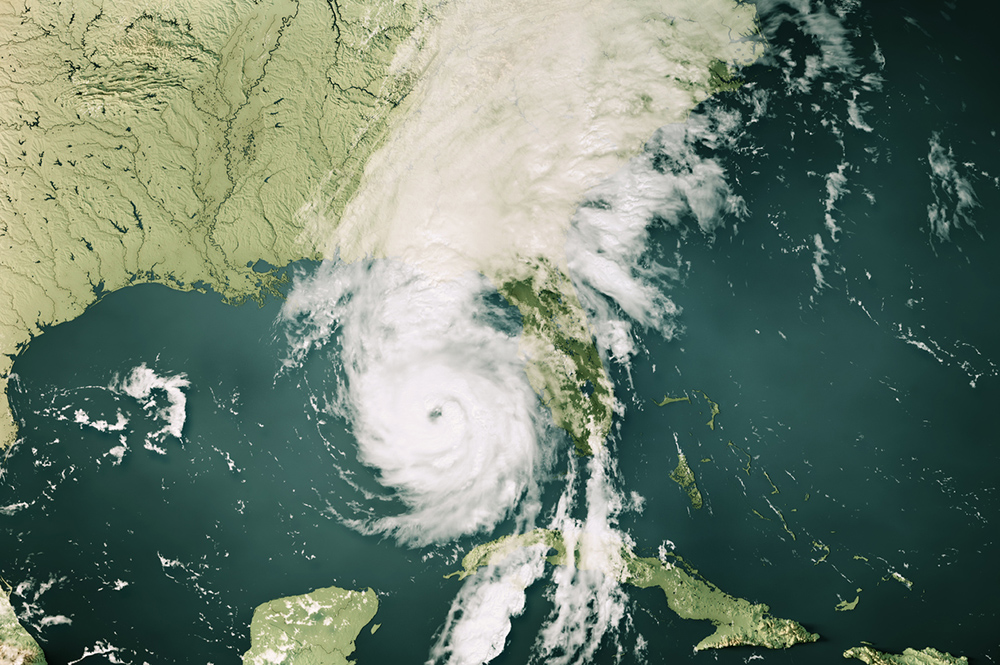
Hurricane Irma strengthened to a Category 5 storm with sustained winds of 175 mph as of Monday, Sept. 5. It’s moving west-northwest on its present track, but longer-term models project that it will make a sharp turn to the north later this week, which could threaten parts of the Southeast, including Georgia.
South Georgia residents could see impacts from Irma as early as Saturday, but residents will most likely see impacts Sunday morning.
Irma is presently projected to go north of Puerto Rico, Hispaniola and Cuba and south of the Florida peninsula over the next several days. It is expected to take a sharp turn to the north by Sunday morning. If Irma turns sooner, then Florida’s east coast of Florida will be in the path of the storm; if it turns later, then Tampa, Florida, and the Florida’s west coast could be in the storm’s direct path. There’s also a chance it could move directly up the Florida peninsula. Forecasters will have a much better sense of Irma’s path by Friday morning.
Irma’s major impacts in Georgia are likely to be strong winds, locally heavy rains and, along the coast, a potential storm surge and high waves. Tornadoes are also possible. Irma is very powerful, and its strong winds and rain could affect areas far from the storm’s center.
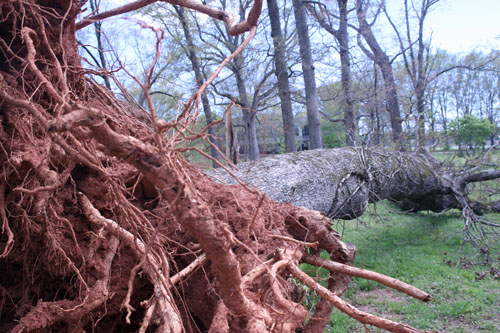
Recall that when Superstorm Sandy hit New Jersey in 2012, Georgians were injured by falling limbs due to gusty winds resulting from Sandy. Trees may fall, especially given Georgia’s wet soils and previous drought stress on trees. Fallen trees could down power lines and eliminate electrical power to Georgia houses and businesses as a result of the storm. Irma is moving quickly, so it seems that Georgia should not see the amount of rain that Texas received from Hurricane Harvey.
Follow official information from local emergency management agencies regarding evacuations or other steps to take. Official forecasts from the National Hurricane Center can be found at www.hurricanes.gov.
Residents in south Georgia with outdoor activities planned for the weekend or early next week should watch the weather carefully. It’s too early now to cancel events, but be prepared to act later in the week should the forecast indicate Irma that is headed toward Georgia.
Coastal residents or those in low-lying areas should consider preparing a hurricane kit; storing fresh water, batteries and other necessities to cover several days without power; and preparing an evacuation plan. Since power may be out, keep enough gas and cash on hand to cover several days.
Local areas could see some freshwater flooding. Agricultural producers should consider moving machinery and livestock to higher terrain. Depending on the exact path and strength of Irma, some coastal areas may need to be evacuated due to the potential storm surge. It is too early now to evacuate, however, as the storm’s path may shift.
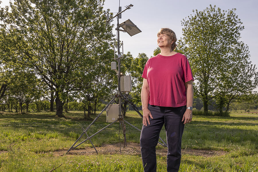
For updates, visit the “Climate and Agriculture in the South East” blog at blog.extension.uga.edu/climate, like SEAgClimate on Facebook or follow @SE_AgClimate on Twitter. For answers to general questions, call Pam Knox, University of Georgia Cooperative Extension agricultural climatologist, at 706-310-3467.
(Please note that Pam Knox is an agricultural climatologist for UGA Extension, not an official forecaster.)


