Through at least the middle of August, most of Georgia will likely be warmer and drier than normal. The weather outlook for the mountain counties is less certain.
Summer is the most difficult season to forecast for the Southeast. The El Niño – Southern Oscillation ocean-atmosphere pattern, or ENSO, gives atmospheric scientists good guidance on what weather to expect during winter and early spring. But during the summer, ENSO has little impact on temperatures and rainfall in the Southeast. Because of this, atmospheric scientists must use other information for forecasts.
One of the best indicators of climate over a period of several weeks is persistence. Persistence means that the current climate pattern will continue for a period of time. Since Georgia has been warmer and drier than normal since March, the persistence outlook is for Georgia to remain warmer and drier than normal for the next several weeks.
An additional indicator is the current drought. Even with normal temperatures and rain during the summer, Georgia soils continue to dry, and stream flows drop. Even if Georgia receives normal rain this summer, the drought is expected to continue.
Drought and warmer-than-normal temperatures go together and typically reinforce each other. Dry soils mean that more energy from the sun heats the soil and the air above it. Warmer temperatures mean that the soils lose more water to evaporation and plant water use.
With drought conditions leading to higher temperatures, the current drought indicates an outlook of warmer-than-normal temperatures.
During the summer, much of the rain that Georgia receives is from scattered afternoon and evening thunderstorms. With local soil moisture low, there is less moisture available locally for the development of these afternoon or evening storms. The lack of moisture locally argues for a drier-than-normal summer.
During droughts, it is common for a region to experience “sinking air” from higher up in the atmosphere. This makes it difficult for scattered afternoon and evening thunderstorms to develop. Sinking air also compresses and warms. This is another example of how temperature and drought reinforce each other.
The summer outlook for the mountain counties is more uncertain. The mountains have received more rain than southern Georgia. The mountain counties are on a dividing line between a region to the south expecting a warmer and drier summer and a region to the north expecting a cooler and wetter-than-normal summer. The mountain counties will probably experience a warmer and drier-than-normal summer, but the confidence of this outlook is low.
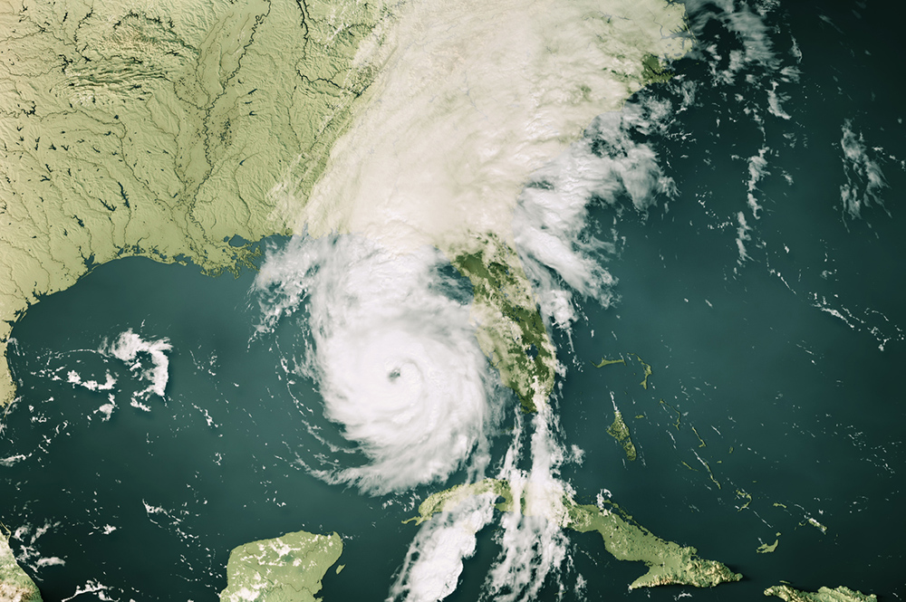
By the middle of August, the tropics are usually becoming very active. Much of Georgia’s late summer and fall rains come from tropical weather systems such as tropical storms or hurricanes.
This hurricane season is expected to be more active than normal. Unfortunately, atmospheric scientists do not have the ability to forecast how many of the storms will make landfall. An active hurricane season gives us no guidance on the chances of Georgia experiencing tropical weather.
If Georgia receives tropical weather, widespread temporary drought relief can occur. If the tropical activity occurs earlier than typical, then warmer and drier-than-normal weather could end earlier than expected this summer. If Georgia doesn’t receive tropical weather this summer, then the current drought will persist into fall.
Up-to-date information on dry conditions across Georgia can be found at www.georgiadrought.org. Updated weather conditions can be found at www.georgiaweather.net.


