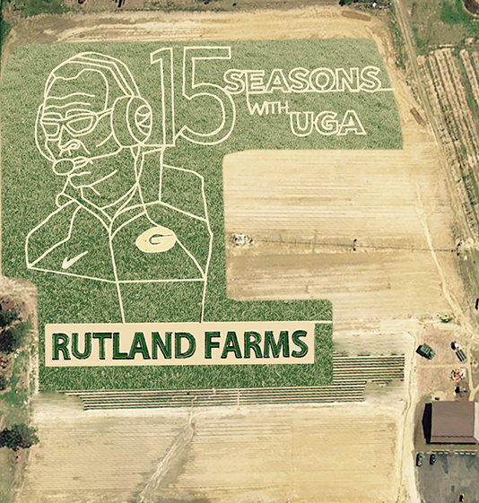
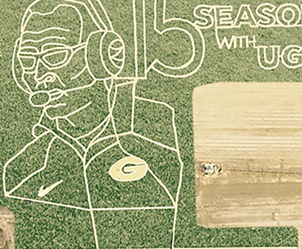
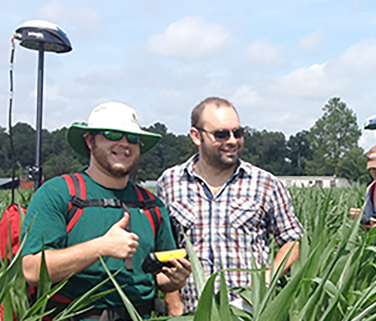
In a southeast Georgia corn field, University of Georgia students helped to design a corn maze in honor of Mark Richt, UGA Bulldogs head football coach, using Global Positioning System (GPS) technology. As part of a precision agriculture class taught on the UGA Tifton Campus, students are learning the benefits of this technology while preparing for future agricultural careers.
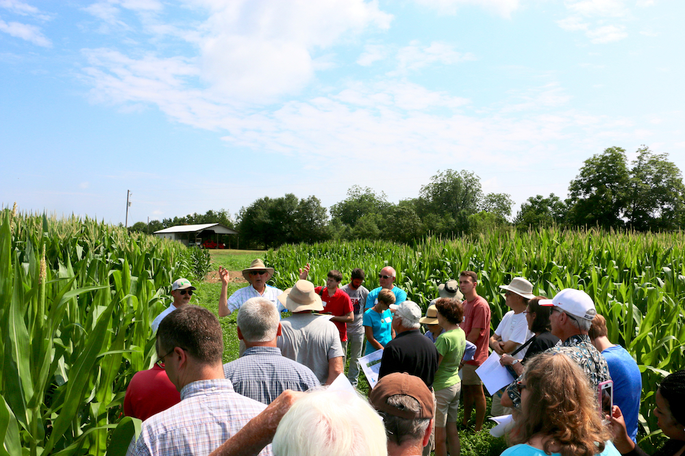
George Vellidis, a UGA College of Agricultural and Environmental Sciences crop and soil sciences professor, gave his precision agriculture students the opportunity to experience GPS technology firsthand by having them develop a corn maze at Rutland Farms in Tifton, Georgia.
“I’ve been teaching precision agriculture at the UGA Tifton Campus since 2003. We’ve been teaching GPS from day one because GPS is a critical part of precision agriculture. Everything we do with precision agriculture has coordinates, so we can collect our data through GPS,” Vellidis said. “It’s a great experience for the students to go out and help with the corn maze. They get to do a fun activity while learning how to use GPS.”
Ryan Rutland, a UGA CAES alumnus, and his wife, Meredith, designed the corn maze. In its fifth year, this year’s maze was created in Richt’s likeness. Covering 6.1 acres, the maze is the biggest ever constructed at Rutland Farms and is the most publicized. In September, ESPN ran a story about the maze on espn.go.com.
Ryan says this was probably the most difficult maze ever built at Rutland Farms and gives all credit to Vellidis and his students.
“Dr. Vellidis has partnered with us since we started in 2011. His class helps us by taking a perimeter of the field where we’ve planted the corn, putting an image on paper, then they transfer that image into the GPS,” he said. “They help us trace the lines and mow everything. They pretty much help us with the maze from start to finish.”
Students have been impressed by how easy the technology is to use and how beneficial it can be to farmers.
“I’ve used it to go back after we’ve already installed moisture sensors earlier in the season and I’ve used it to find the sensors much later in the season,” said Sydni Barwick, Vellidis’ student and student worker in irrigation for UGA Cooperative Extension.
“When, for example, a corn crop is 8 feet high, you can’t see across that field, so there’s no way to find the sensors without GPS. Using the (GPS) system is great for things like that because it has an accuracy of about 3 feet,” she said.
As far as precision agriculture, GPS allows farmers and researchers to make maps of data collected from fields.
“The maps are then used to make decisions about how to vary the amount of crop inputs applied to different areas of the field,” Vellidis said.
Like most other technology, there is a chance that students can experience trouble with GPS. Vellidis prepares his students to face possible technical difficulties.
“The main thing is for them to understand all the problems they’ll run into, to understand how the technology works, to understand how to solve the problems associated with GPS. For example, cables might be disconnected or the electronics might not be speaking to each other,” he said. “So, I just want to get them familiar with how everything works.”
UGA student Randall Stratton used the GPS technology for the first time in Vellidis’ precision agriculture class.
“I found the GPS lab very interesting because it showed us how to work the GPS equipment, first off, and then it was important to know the uses of this in case future jobs involved GPS like what we had in class,” Stratton said.
For now, Vellidis’ class is basking in the recognition that comes from creating a one-of-a-kind maze.
“It was interesting; you have pride there for sure,” said Evan Hill, a junior agriscience student in Vellidis’ class.
(Tatyana Phelps is an intern on the UGA Tifton Campus.)

