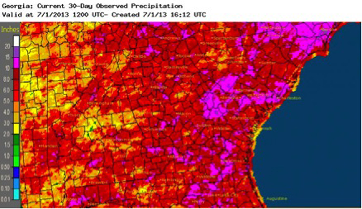
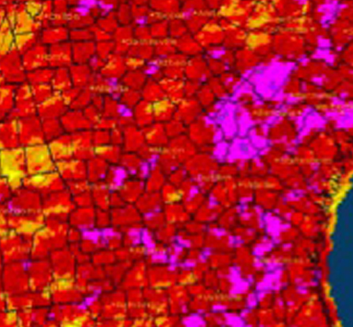
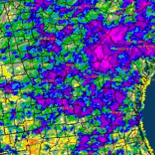
Georgia saw a soggy June, with almost all counties receiving more rain than normal and a few cities seeing record-breaking amounts.
Although the exact state average rainfall is still being calculated, it appears that this was the wettest June since 2005, when the state average was almost eight inches of precipitation. However, it is unlikely that this June will surpass the all-time June record of 9.34 inches set in 1900.
The abundant rainfall helped small grains and forage growth, but impeded late planting and harvesting of wheat and hay. Diseases and pests driven by the wet conditions were observed in many areas of the state.
Areas that received the most rain during June are expected to be more susceptible to flash flooding in July due to the widespread saturated soil conditions that prevent rainwater from soaking into the ground.
Both Macon and Augusta had their highest total rainfall for June in 2013. In Macon, the rainfall of 12.25 inches washed out the old record of 9.91 inches set in 1923. Macon’s normal rainfall for June is about 4 inches. The city had the highest monthly rainfall totals in the state for the month of June, as reported by a National Weather Service station.
In Augusta the rainfall of 10.83 inches dripped past the old record of 10.59 inches set in 2004. Atlanta had the fourth wettest June on record, Columbus the eighth wettest and Athens the 10th wettest for each of their periods of record.
In Atlanta the rainfall of 4.14 inches observed on June 5 set a new record for a single-day rainfall in the month of June since records began in 1878. The previous record was 3.78 inches, measured on June 18, 1991.
Daily rainfall records were also set in Columbus, Macon and Brunswick last month. In Columbus an observed rainfall of 1.11 inches on June 10 surpassed the old record of 0.98 inches for the same date, set in 1981. In Macon an observation of 1.63 inches on June 23 beat the old record of 1.29 inches from 1928. In Brunswick a rainfall of 1.95 inches on June 23 broke the old record of 1.04 inches set in 1956.
The lowest monthly total precipitation from National Weather Service reporting stations was in Columbus at 7.32 inches (3.6 inches above normal). Atlanta received 9.57 inches (5.62 above normal), Athens received 8.21 inches (4.03 above normal), Brunswick received 8.31 inches (3.47 above normal), Alma received 7.78 inches (2.4 above normal), Savannah received 8.28 inches (2.33 above normal) and Augusta received 10.83 inches (6.11 above normal).
The highest amount of rainfall measured on a single-day by Community Collaborative Rain Hail and Snow Network observers was 5.31 inches near Martinez in Columbia County on June 6. An observer near Athens in Clarke County reported 4.46 inches on June 6. The highest monthly total rainfall was 15.47 inches, observed by the Martinez observer, followed by 15.34 inches measured near Watkinsville in Oconee County.
In spite of rains across the state, some abnormally dry conditions were found in the far southwestern part of the state at the end of the month due to short-term dryness.
Persistent cloud cover associated with the rain kept temperatures slightly below normal in most of the state.
In Atlanta the monthly average temperature was 77.5 degrees F (0.2 degrees above normal). The monthly average temperature in Athens was 76.9 degrees (0.6 below normal), Columbus was 80.1 degrees (0.3 above normal), Macon was 77.9 degrees (1.0 below normal), Savannah was 80.3 degrees (0.5 above normal), Brunswick was 81.2 degrees (0.9 above normal), Alma was 80 degrees (0.3 above normal) and Augusta was 77.8 degrees (0.8 below normal). No temperature records were set in June in Georgia.
Severe weather was reported on 20 days in June, which was mostly wind damage and small, scattered hail. The storms caused an estimated $50 million in insured losses and left 160,000 Georgia Power customers without service. Several people were injured by falling trees.
Two EF-1 tornadoes were observed on June 13 in northmetro Atlanta. Both tornadoes moved in an unusual northwest to southeast track along a squall line ahead of a strong cold front, which moved through the area on the evening of June 13. This marks the end of the longest stretch of years since 1950 with no June tornadoes. Details can be found at http://www.srh.noaa.gov/ffc/?n=june13_2013.

