Drought conditions continue to intensify across most of Georgia. Since the end of May, conditions in the southern two-thirds of the state have deteriorated from extreme to exceptional drought, the highest drought category. Portions of northwest Georgia have now entered moderate drought conditions.
All counties in Georgia south of Harris, Talbot, Upson, Pike, Lamar, Monroe, Jasper, Putnam, Hancock, Warren, McDuffie and Lincoln counties, inclusive, are either in extreme or exceptional drought.
Soil moisture levels in the extreme and exceptional drought counties are between the first and fifth percentile. At the first percentile the soils in late June would have more moisture 99 out of 100 years. At the fifth percentile the soils would have more moisture 95 out of 100 years.
The counties in exceptional drought are south and west of Muscogee, Chattahoochee, Marion, Taylor, Crawford, Bibb, Twiggs, Wilkinson, Johnson, Emmanuel, Treutlen, Wheeler, Jeff Davis, Coffee, Irwin, Tift, Cook, Lowndes and Echols counties, inclusive. Additionally counties classified as being in exceptional drought are Charlton, Ware, Effingham and the coastal counties of Chatham, Bryan, Liberty, McIntosh and Glynn.
Severe drought conditions continued or have developed in Troup, Meriwether, Spalding, Butts, Newton, Morgan, Greene, Taliaferro and Wilkes counties.
Moderate drought conditions have continued or have developed in Dade, Walker, Catoosa, Whitfield, Murray, Chattooga, Floyd, Gordon, Polk, Haralson, Carroll, Coweta, Fayette, Clayton, Henry, Rockdale, Walton, Oconee, Clarke, Oglethorpe, Madison, Elbert, Franklin and Hart.
The remaining counties across north-central and northeast Georgia are classified as being abnormally dry.
Streams flows across the southern half of the state are extremely low. Daily record-low flows are occurring along Pachitla Creek near Edison, the Flint River at Newton, Spring Creek near Iron City, the Alapaha River near Alapha and at Statenville, the Satilla River near Waycross, the Ocmulgee River at Lumber City and at Doctortown, Black Creek near Blitchton, and the Ogeechee River near Eden.
Groundwater levels in the coastal plain are at or near record low levels for all long-term monitoring wells. Some communities in the region are drilling deeper wells to maintain water supplies.
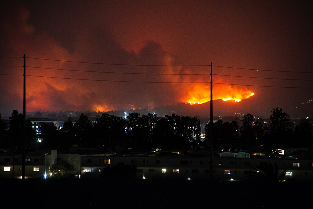
Since March, more than 370,000 acres have been scorched by wildfires in the state. Increased wildfire risk remains, and precaution must be exercised when doing any activity that could generate sparks. Preventable sources of wildfires include backyard grills, campfires and cigarettes, and also over-heated lawn equipment, farm equipment and electrical lines.
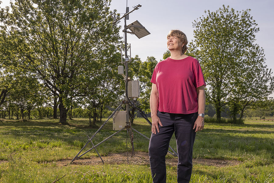
Up-to-date information on dry conditions across Georgia can be found at www.georgiadrought.org. Updated weather conditions can be found at www.georgiaweather.net.