By Pam Knox
University of
Georgia
A large, slow-moving low-pressure system brought extremely humid air into Georgia mid-month. It triggered days of intense rainfall, producing what was estimated to be a 500-year flood around Atlanta, according to the U.S. Geological Survey.
The highest rain totals estimated by National Weather Service radars were 15 inches to 20 inches in Douglas County and other areas east and west of downtown Atlanta.
Twenty-one counties were declared eligible for federal disaster funds. Preliminary damage estimates were $500 million to $1 billion. Thousands of homes were affected, and 500 were destroyed or significantly damaged.
The flood is considered the worst since 1919, when flood waters almost destroyed West Point in western Georgia.
Parts of four interstates were closed. I-20 remained closed for more than 24 hours as flood waters rose 3 feet over the pavement and inundated Six Flags Over Georgia.
Following the rain, Lake Lanier rose 1.5 feet in 24 hours. Lake Allatoona rose almost 9 feet during the week after. More than 130 dams and many bridges now require stability inspections.
Four water-treatment plants in Atlanta were damaged and dumped raw sewage into the Chattahoochee River. A pipe in a levee near Macon broke and discharged millions of gallons of raw sewage into the Ocmulgee River at the end of the month. Citizens were urged to stay out of the flood water. Some communities issued advisories to boil water.
Ten people were killed, most while driving onto roads covered by moving water. Seven deaths were in Douglas County, where the heaviest rainfall occurred. Additional deaths occurred in Carroll, Chattooga and Gwinnett counties.
The highest monthly total from National Weather Service reporting stations was 10.68 inches in Macon (7.42 inches above normal). The lowest was in Alma at 1.59 inches (1.75 below normal). Atlanta received 8.94 inches (4.85 inches above normal), Athens 9.86 inches (6.33 inches above normal), Columbus 5.30 inches (2.23 inches above normal), Augusta 3.63 inches (.15 inch above normal), Savannah 2.43 inches (2.65 inches below normal) and Brunswick 4.57 inches (1.67 inches below normal).
Forty-eight Community Collaborative Rain, Hail and Snow Network observers reported 15 inches or more total rainfall for the month. The highest single monthly total was 22.86 inches near Kennesaw in Cobb County. However, two observers in Douglas County reported overflowing rain gauges. An observer in Lilburn in Gwinnett County reported 21.79 inches.
The highest daily rainfall reported by a CoCoRaHS observer exceeded 11 inches in a few hours near Douglasville on Sept. 21, when the rain gauge overflowed. The Carrollton observer nearest the area of maximum rainfall reported 10.64 inches in 24 hours ending that morning.
The Georgia Automated Environmental Monitoring site at Dallas in Paulding County reported 16.15 inches for the month, including 5.61 inches on the Sept. 20 and 4.54 inches on Sept. 21.
Numerous daily and monthly rainfall records occurred at National Weather Service cooperative observing stations around the state. Dallas and Carrollton broke 30-year records of heaviest daily rainfall. Atlanta broke a daily maximum rainfall of 3.52 inches on Sept. 19, and Macon broke daily records with 2.32 inches on Sept. 17.
No tornadoes were reported. Scattered reports of strong winds or small hail where reported four days resulting in toppled trees or scattered power outages.
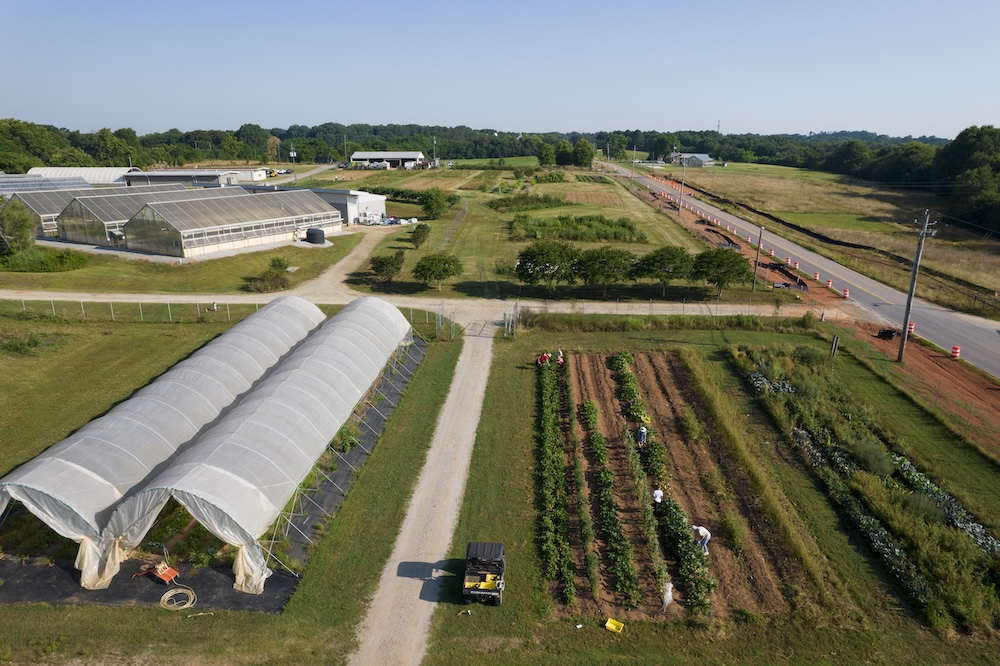
The heavy rains in north Georgia caused extensive damage to nurseries, vineyards and hay fields. Many counties reported rot in cotton and insect infestations. Fieldwork came to a stop in many areas. In other areas, the rain was beneficial to crops and harvesting proceeded at a good pace.
Temperatures across the state were near normal in September except in Augusta where the average temperature was 75.6 degrees (1.6 degrees above normal).
(Pam Knox is the assistant state climatologist and a program specialist in the University of Georgia College of Agricultural and Environmental Sciences.)


