When it storms, sediment spills into the North Fork Broad River. It has hurt the river for decades. Scientists want to know the source of the sediment so it can be controlled. The remains from nuclear fallout can help them do it.
Sediment is fine soil particles. If left unchecked, it can choke a river and disrupt its food chain. It can blanket the river’s natural rocky bottom where some insects live and fish lay eggs. Sediment-filled water is harder and more expensive to clean for drinking, too.
The North Fork Broad River runs through northeast Georgia. In 1998, it was listed as a sediment-impaired river. Many rivers in the Southeast suffer the same fate, said David Radcliffe, a soil scientist with the University of Georgia College of Agricultural and Environmental Sciences.
“Plans are in place to reduce the sediment load for this and other rivers in the region,” he said. “But for restoration to work, we need to find out exactly where the sediment is coming from.”
To find the source, the river will be used to test a technique called sediment fingerprinting, he said. This will be the first time the technique, more commonly used in Europe, has been used in the Southeast. And a key to the technique left its print on the earth decades ago.
Nuclear testing in the 1950s released cesium-137 into the atmosphere. This radioactive isotope settled over the entire world and attached to soil. But it went no deeper than a few inches below the surface.
“Since there are no natural sources of cesium-137 in the environment, it serves as a unique tracer for erosion of surface soils,” Radcliffe said.
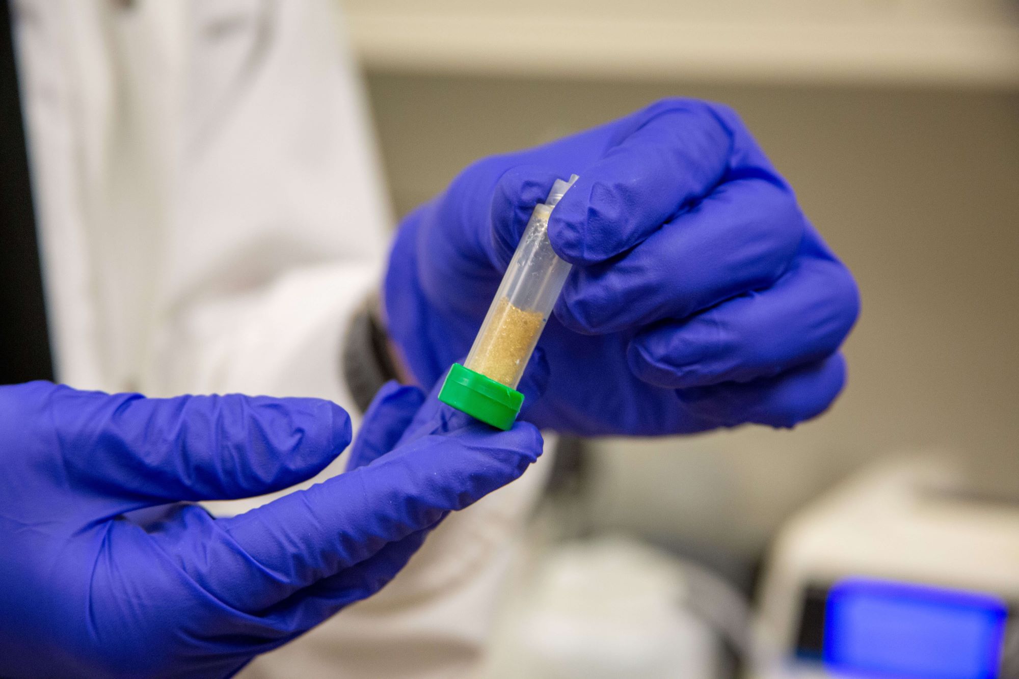
Over the next three years, Radcliffe will collect 1,000 samples, or fingerprints, in and around the North Fork Broad River during stormy and fair weather. The samples will be tested for cesium-137 and other minor tracer materials.
But how can this help pinpoint sediment in the North Fork Broad River?
Traditionally, it’s assumed that sediment today comes from surface soil eroding farm fields, dirt roads, construction sites or cleared forest land, Radcliffe said.
But it can come from another place, too.
Poor farming practices in the late 1800s and early 1900s allowed field soil then to erode “at tremendous rates” into streams and rivers, he said. Over time, this “legacy” sediment was buried below the surface soil in flood plains and along river banks throughout the Southeast.
North Fork Broad River samples that are high in cesium-137 would likely come from soil that has been at the surface since the nuclear testing, he said, or in the past 50 years. This would likely be current sediment from the traditional places.
Samples that are low in cesium-137 indicate sediment that has not been near the surface in the last 50 years. This would be the legacy sediment finally eroding from the banks where it was deposited so long ago.
“I think it’s fascinating that an environmental tag from such a horrible source can be turned into something quite useful,” Radcliffe said.
A model of the river’s sediment sources will be created and used to steer conservation and restoration efforts, he said.
The project will include scientists from the National Sedimentation Laboratory in Oxford, Miss., and the Hydrology and Remote Sensing Laboratory in Beltsville, Md. It is funded by a grant from the Cooperative State Research Education and Extension Service Integrated Water Quality Program.
Outreach and educational programs stemming from this research will be created for the region, too, and lead by Mark Risse, a UGA Cooperative Extension engineer.


