`Long Georgia Drought Expected to Worsen´ |
Published on 02/22/00
Blame Long Drought on La Niña
La Niña can explain the prolonged drought that began in Georgia in May 1998. While you can't blame La Niña for the weather on any given day, it is responsible for the general pattern. It has influenced the state's climate since mid-1998.
In the La Niña pattern the sea surface in the equatorial Pacific Ocean is abnormally cold. During La Niña, Georgia normally has below-normal winter precipitation and above-normal winter temperatures. That's been true statewide in the winter of 1999-2000.
The CPC's February La Niña advisory reports that strong cold-surface conditions continued in the equatorial Pacific during January 2000.
La Niña Expected to Weaken
The current La Niña is in a mature stage. CPC computer models and statistical predictors expect La Niña to slowly weaken over the next several months. Surface temperatures figure to be near neutral to slightly cool during the second half of 2000.
An El Niño pattern may slowly develop as La Niña weakens. In this pattern, the equatorial Pacific surface is abnormally warm.
CPC reports that the subsurface temperature pattern in the equatorial Pacific is starting to evolve into the build-up stage for an El Niño pattern. The build-up period usually takes one to two years.
First Sign Drought's End May Be in Sight
This change in the ocean temperature pattern is the first sign that the drought's end may be in sight. However, it will be late summer before we can expect much of a chance of relief.
While it is too early to forecast the start of the next El Niño, late 2001 or early 2002 are reasonable estimates. El Niño winters in Georgia are associated with above-normal precipitation and above-normal temperatures.
 CAES News
Volunteers keep UGA Extension connected to communities
In addition to its experts throughout the state, University of Georgia Cooperative Extension is powered by thousands of volunteers who give generously to extend program impact and reach in support of UGA Extension missions. Throughout National Volunteer Appreciation Week, April 20-26, UGA Extension will host special events that highlight the volunteers who have donated their time to facilitate 4-H, Master Gardener, and Family and Consumer Sciences programming.
 CAES News
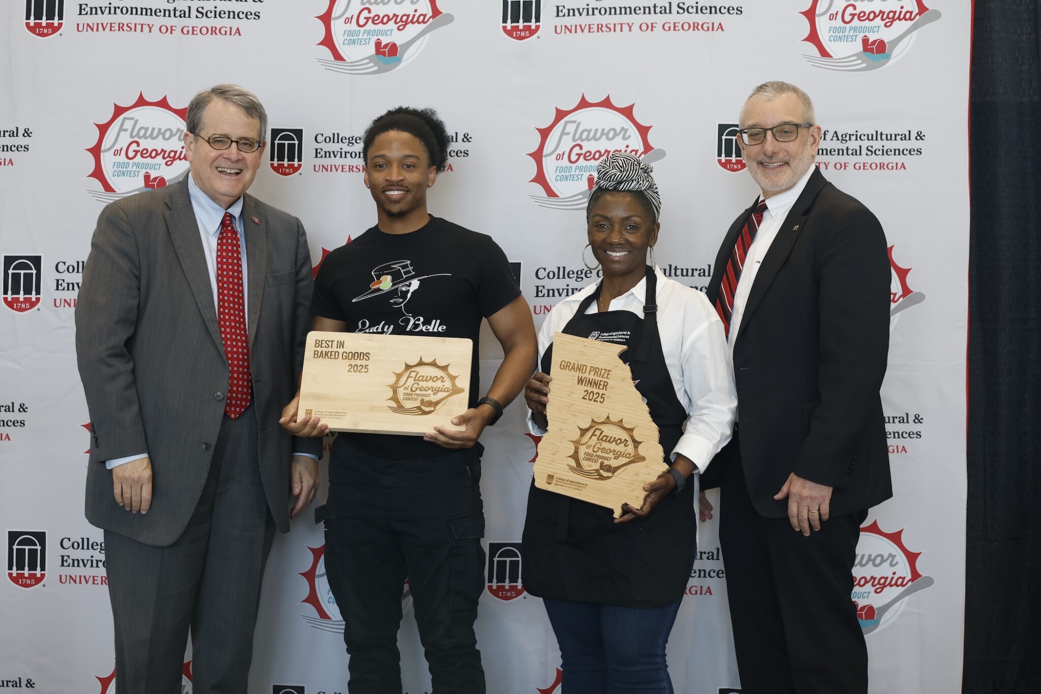
Lady Belle wins 2025 Flavor of Georgia food product contest
A baked good secured the top spot at the 2025 Flavor of Georgia food product competition, beating out a record 173 products submitted in 12 categories. Sunday Dinner Griscuits, produced by Lady Belle, is a French gougeres, or cheese puff, stuffed with macaroni and cheese flavored grits with collard greens and smoked turkey. Lady Belle is a French-Southern fusion micro-bakery specializing in handcrafted Parisian style macarons, Belle (Signature) Macarons and savory Gritscuits.
 CAES News
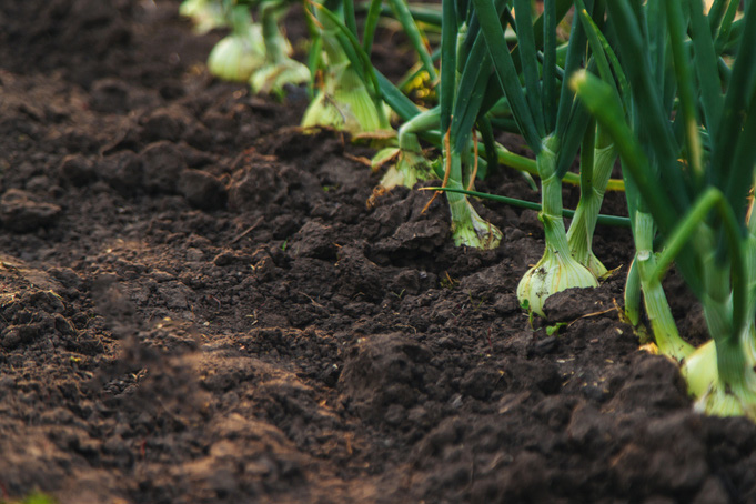
Your ultimate guide to healthy garden soil
Healthy soil is the foundation of a productive and beautiful garden, providing essential nutrients, proper drainage and the right balance of air and moisture for plant roots to flourish. Whether you're preparing a brand-new garden bed or revitalizing existing soil, understanding its composition and how to improve it will set your plants up for success. University of Georgia Cooperative Extension consumer horticulturist Bob Westerfield provides guidance on ensuring your garden soil is ready to provide fruitful vegetables this summer.
 CAES News
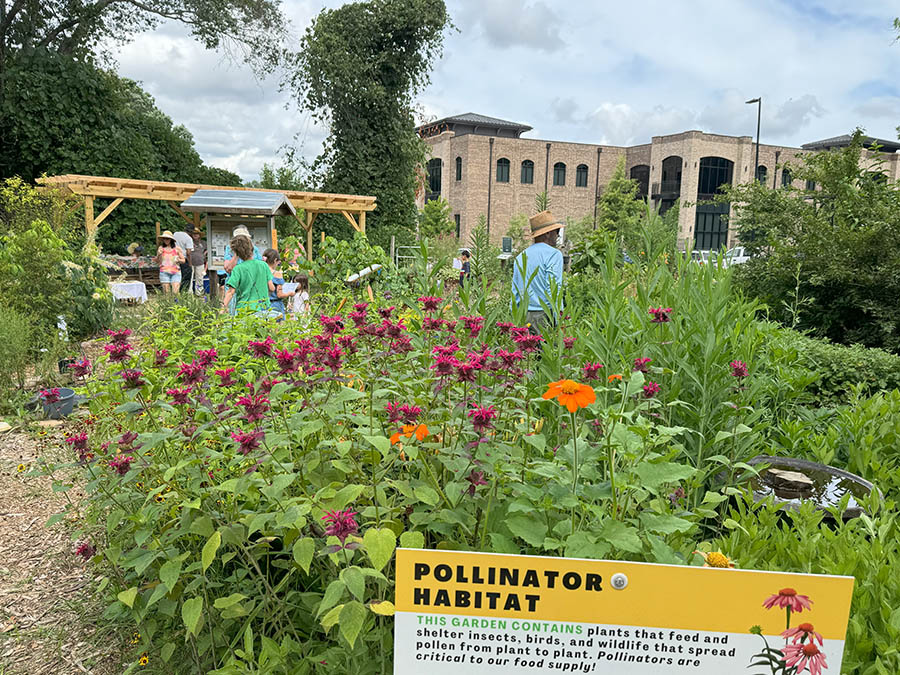
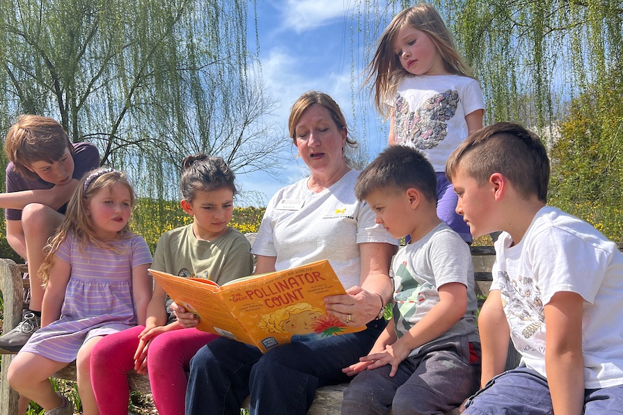
Community science counts: Census meets storytelling
Six years after founding the Great Southeast Pollinator Census, Becky Griffin held something remarkable in her hands — a children’s book inspired by the project she built from the ground up. "The Great Pollinator Count," written by Susan Richmond and published by Peachtree Publishing, is set to hit physical and digital bookshelves on April 15. The book celebrates the power of community science, pollinator conservation, and the educators and students who bring it all to life.
 CAES News
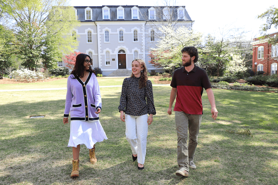
Three UGA undergraduates awarded Goldwater Scholarship
From crop molecular genetics to estuarine mussels to computer experiments, three University of Georgia undergraduates have been honored for furthering research in their fields of study. Juniors Oscar de la Torre, Anderson Smith and Sloka Sudhin are among the 441 undergraduates from across the nation to be recognized as Barry Goldwater Scholars this spring. They have earned the highest undergraduate award of its type for the fields of mathematics, engineering and natural sciences.
 CAES News
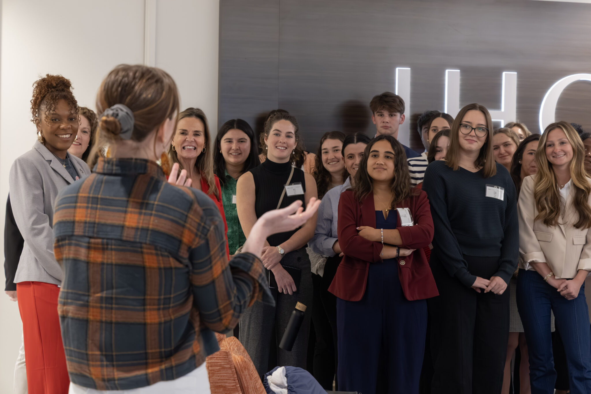
UGA Career Caravan takes students to Delta and IHG
The University of Georgia Career Center provides students with invaluable opportunities to explore diverse career paths. On March 21, the Career Center organized a “Career Caravan” to two prominent Atlanta-based companies: Delta Air Lines and IHG Hotels & Resorts. This immersive experience aimed to give UGA students, including those studying hospitality and food industry management at the College of Agricultural and Environmental Sciences, firsthand learning from the hospitality industry.
