By Brad Haire
University of Georgia
Aerial Help
Aerial images of fields can help farmers better manage their crops and save them time and money, said Tasha Wells, a research coordinator at the National Environmentally Sound Production Agriculture Laboratory here.Wells is coordinating research on a cost-efficient aerial camera system to use in low-flying airplanes. She and other experts with the University of Georgia College of Agricultural and Environmental Sciences are developing this system with the help of a local pilot.
The system is portable and built using off-the-shelf components. But some airplanes will require major adjustments to use the system. Wells hopes a new local business can be created from this research.
The aerial imagery research has already helped some farmers see their fields in different ways, she said.
Variations
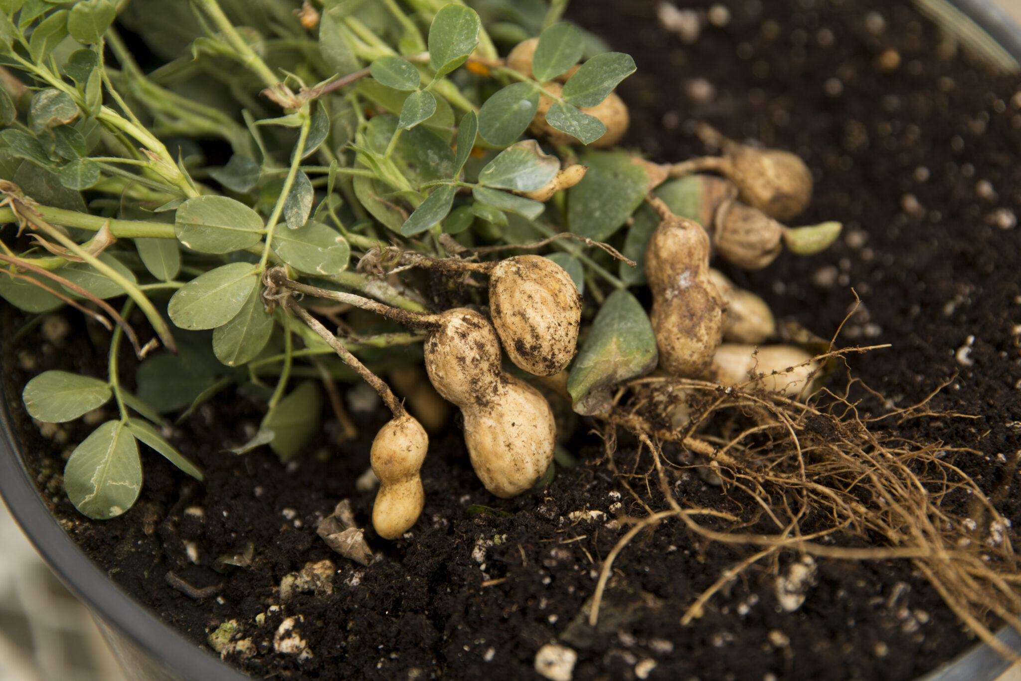
Farm fields, even small ones, can have a lot of variations, she said. The distinct patterns of weeds, crop growth and soil types become more distinct from a bird's-eye view.Couple the aerial photo with Global Positioning Satellite and software technologies, and you have more than just a picture. You have a precise reference tool that shows what's happening to a crop in a field.
"We can use the images to see what areas of a field are similar and what areas are different," she said. "And the farmer can determine how best to deal with these areas."
Farmers need this kind of information more than ever.
Decision-maker
The U.S. farm economy was hurting well before the Sept. 11 attacks put the overall national economy into question. The profit margin for many U.S. farmers has dramatically narrowed over the past decade.Farmers need decision-making tools to help them better use farm resources such as fertilizers, herbicides and water, Wells said. Right now, the difference between making and losing money for many farmers greatly depends on how well they know their fields and how much or how little they use these resources.
But even in good economic times, she said, farmers want to know how to use these resources wisely.
Precision Tools
Precision agriculture technology, like aerial imagery, primary purpose is to identify and measure the variability within a field.“Managing this variability for optimal gain often means decreasing inputs in the less productive areas and increasing inputs in the more productive regions,” she said. “So, instead of making fields more uniform, more often than not variability may be enhanced.”
The overall goal of precision agriculture research, Wells said, is to develop tools farmers can use to make better, more efficient decisions on how to grow their crops.
No one tool is the "silver bullet," she said, for perfect crop- management decisions. But the more detailed information a farmer gets, the better his decisions.
"The aerial imagery is just one way, or means, to develop these low-cost reference tools for farmers," she said.