Northern Georgia continued to see wet conditions as the southeastern part of the state dried in October. Several record high and low temperatures were set with an active weather pattern that sent both warm and cold fronts moving across the state.
Scattered locations along a line north of Columbus to Rabun Gap received in excess of 10 inches of rain in October. Below-normal rain amounts were reported in southern Georgia, with the lowest reported in Brunswick (2.15 inches, or 1.76 inches below normal), according to radar estimates. None of the rainfall was from tropical cyclones.
The highest monthly total from National Weather Service reporting stations was 9.14 inches in Athens (5.67 inches above normal). Atlanta received 8.71 inches (5.60 inches above normal), Macon 6.37 inches (4 inches above normal), Columbus 6.39 inches (4.06 inches above normal), Augusta 5.10 inches (1.9 inches above normal), Savannah 3.41 inches (.29 inch above normal), and Alma 2.71 inches (.08 inch below normal).
Fifty-three stations with the Community Collaborative Rain, Hail and Snow Network, or CoCoRaHS, reported 10 inches of rain or more for their monthly totals. The highest was 12.38 inches near LaGrange in Troup County. Other monthly rainfall totals more than 12 inches were reported at Emma, Stockbridge and Manchester. The highest 24-hour rainfall was 4.5 inches, reported east of Gainesville in Hall County Oct. 12.
The Georgia Automated Environmental Monitoring site at Alpharetta in Fulton County reported 10.84 inches for the month, including 3.84 inches on the Oct. 12 and 2.19 inches on Oct. 27.
Lake Lanier reached full pool mid-month for the first time since Sept. 6, 2005. Lake Allatoona was 12 feet above full pool.
The heavy rainfall damaged many rural roads during the month.
Daily record maximum rainfalls occurred on several days. At official NWS airport stations, Atlanta broke a daily record with 2.5 inches and Athens 3.84 inches on Oct. 12. Columbus set daily records Oct. 14 and 27.
Temperatures across the state were variable. In Atlanta, the monthly average temperature was 61 degrees (1.8 degrees below normal), in Athens 60.7 degrees (1.1 degrees below normal), Columbus 64.5 degrees (1.3 degrees below normal), Macon 64.5 degrees (.6 degree above normal), Savannah 68.5 degrees (1.5 degrees above normal), Brunswick 71.5 degrees (1.9 degree above normal), Alma 68.9 degrees (.4 degree above normal) and Augusta 63.2 degrees (.1 degree above normal). In general, the coolest spots were where the most rain occurred.
Savannah reported a record high temperature of 93 degrees Oct. 9. Augusta, Savannah and Alma reported record low temperatures in the 50s and 60s Oct. 17. Athens had a record low temperature of 33 degrees and Macon tied its low temperature of 35 degrees Oct. 19. Scattered frost occurred in northern, low-lying locations during this cold outbreak.
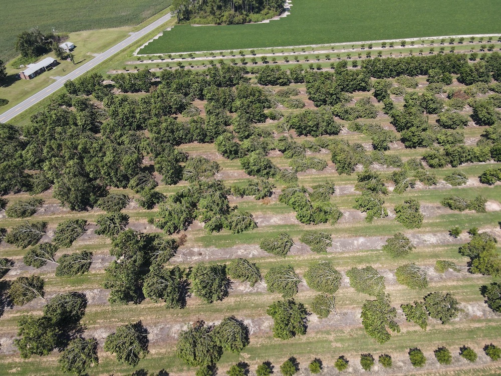
There was one tornado reported. The EF-1 tornado touched down south of Americus and severely damaged a grocery store Oct. 15. More than 100 trees were snapped.
A motorist sustained minor injuries near Glennville when wind toppled a tree onto the car Oct. 27. There were scattered reports of strong winds or small hail somewhere in Georgia on 4 days. Flooding occurred in low-lying areas Oct. 13 in northern Georgia. Dense fog in Atlanta Oct. 27 caused multiple traffic accidents during the morning commute.
The rains in northern Georgia caused problems for farmers trying to harvest hay and other crops. Many counties reported problems with rot in the cotton and hay and sprouted corn that was exposed to wet conditions. Peanuts in central Georgia were reported to be on track for a record late harvest. Fieldwork came to a stop in many areas. In other areas of the state the rain was beneficial to crops and harvesting was proceeding at a good pace.


