Most areas of Georgia received well below normal rainfall in August, leading to expansion of dry conditions and the appearance of severe drought in southern Georgia by the end of the month. Wet conditions were confined to the Atlanta metro area, regions to the northwest and a small part of northern Pierce County. Temperatures were near normal across the state.
In Atlanta, the monthly average temperature was 79.0 degrees F (0.4 degrees below normal); in Athens, 79.3 degrees (0.3 degrees below normal); Columbus, 81.5 (0.4 degrees below normal); Macon, 79.8 (1.1 below normal); Savannah, 83.1 (1.6 above normal); Brunswick, 82.6 (0.8 above normal); Alma, 82.0 (0.7 above normal); and Augusta, 79.7 (0.8 below normal). Albany recorded 82.4 F (0.4 above normal) and Valdosta, 83.9 (2.7 above normal).
Several temperature records were set. Macon and Augusta reported record low maximum temperatures of 78 F on Aug. 2, surpassing the old records of 79 F set in 1918 and 80 set in 1977, respectively. Savannah reported a record high of 100 F on Aug. 23, breaking the old record of 99 F set on Aug. 23, 1987. Brunswick also reported record highs on Aug. 22 and Aug. 23, with 98 F and 99 F surpassing the old records of 97 F set in 1966 on the Aug. 22 and 95 F set in 2006. Augusta also set a record low temperature of 56 F on Aug. 28, breaking the old record of 59 F set in 1969. Several other records were tied during the month.
The highest monthly total precipitation from National Weather Service reporting stations was 6.63 inches in Alma (1.22 inches above normal) and the lowest was in Albany at 0.78 inches (4.06 inches below normal). Atlanta received 5.80 inches (1.90 above normal); Athens received 1.89 inches (1.64 below normal); Augusta received 1.76 inches (2.56 below normal); Brunswick, 4.80 inches (1.47 below normal); Columbus, 1.69 inches (2.08 below normal); and Savannah, 3.41 inches (3.15 below normal). Macon received 1.05 inches (3.05 below normal); and Valdosta, 6.08 (0.74 above normal).
Macon’s monthly rainfall was the third driest in 122 years of record, and the driest ever at the airport location. The last time it was that dry in August was in 1925 when 0.70 inches were measured at the city office. Columbus was the sixth driest in 67 years of record. The last time it was that dry was in 1990 when 1.68 inches were recorded.
The highest single day of rainfall from Community Collaborative Rain, Hail and Snow Network stations was 6.02 inches east of Savannah in Chatham County on Aug. 3. Another nearby observer received 5.50 inches on the same date. An observer located east northeast of Helen in Habersham County received 5.76 inches on Aug. 10. The highest monthly total rainfalls were 11.75 inches and 11.64 inches from the same two Savannah observers, followed by 11.05 inches measured on Skidaway Island.
Severe weather was observed somewhere in Georgia on 12 days in August. An EF-1 tornado was observed on Aug. 20 in Murray and Gilmer Counties near Pleasant Hill. A report on this tornado can be found at www.srh.noaa.gov/ffc/?n=20140820_tornado.
Due to the dry conditions across most of the state, drought expanded in the southwest and south central regions. By the end of the month, severe drought covered eight percent of the state and more than 50 percent was covered by abnormally dry or worse conditions. Low dewpoint temperatures and low humidity helped reduce foliar diseases on some crops.
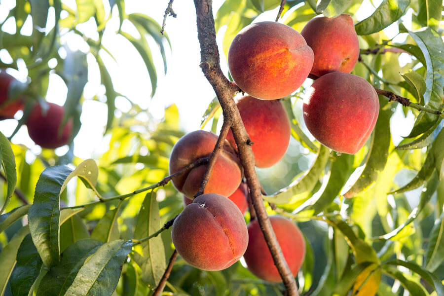
A CoCoRaHS observer in central Georgia noted leaves were falling like it was autumn, and all chances for an additional cutting of hay were gone. This observer also reported being down 80 bales of hay compared to last year. A brush fire near Macon on Aug. 27 was expected to continue to smolder until the next significant rain event.
These monthly climate summaries, along with other information on climate and agriculture in Georgia and the Southeast, are posted on the “Climate and Agriculture” blog at , as well as other sites. Email your weather and climate impacts on agriculture to pknox@uga.edu.